Taking a cruise conjures up expectations of adventure, relaxation and unforgettable experiences on the open seas. The logistics of how it all happens should be invisible to the average passenger but as a leading cruise ship management company, COLUMBIA cruise services knows that there are myriad systems underway in the background that ensure that passengers and crew alike remain safe while onboard. Of these many systems, Global Positioning Systems (GPS) and navigation systems both play a crucial role in safeguarding the vessel and those onboard from potential hazards. In this blog we delve into how these systems work and the ways in which they enhance cruise safety.
Understanding GPS
GPS is at the heart of all modern navigations systems – whether your car’s satnav or a cruise liner’s route planning system. It relies on a network of satellites orbiting earth which together provide data on your precise location at any particular time – it gets this via a receiver which may be situated on the ground, at sea or in the air. The satellites transmit continuous data that, in the case of ships, is received by antennas onboard and is used by crew to determine their exact position, speed and forward trajectory with exceptional accuracy.
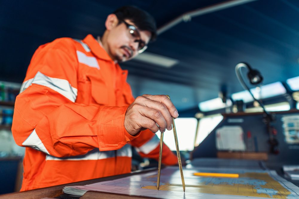
Precise positioning and navigation
The greatest role played by GPS in terms of maritime applications is the ability to pinpoint exactly where a ship is located at any one time and how this can be applied to the ship’s operation. With such accurate and timely information available, captains and navigators are able to plot their route with precision, avoid any obstacles along the way such as reefs or shoals, and ensure that they can navigate narrow channels or congested waterways. This becomes even more valuable when weather conditions are poor or there is low visibility – vessels need to know precisely where they are so that they can avoid any potential hazard.
Collision avoidance and traffic management
Of course it isn’t only the vessel’s own position that is of concern – GPS enables it to know the location of other ships in the vicinity so that captains can take appropriate action to ensure they effectively avoid a collision and also have a good understanding of the maritime traffic in the area – particularly useful in busy routes or congested ports. Continuous monitoring of nearby ships taken in conjunction with automated alerts about potential collision risks means that captains can adjust course as necessary and maintain a safe distance from other vessels.
Integration with Automatic Identification System (AIS)
Advanced GPS navigation systems are frequently integrated with AIS technology as it enables vessels to broadcast their identity, position, course and speed to other ships as well as shore-based stations. By combining these two systems, ships are able to exchange information in real time and ensure better situational awareness and coordination to improve overall maritime safety. It’s also possible to integrate AIS with radar and chart plotting systems to create an even more comprehensive overview of the maritime environment.
Weather routing and forecasting
It isn’t only obstacles that can be a problem for cruise liners, just as significant are weather hazards and GPS navigation systems are geared up to receive up-to-the minute weather data from satellite-based weather services as well as meteorological organisations. This information helps captains to plan their routes so that they can avoid the worst of the weather conditions such as storms, hurricanes or heavy seas. By making use of this weather data, the captain can make informed decisions based on real-time information, not only minimising the risks to safety brought about by hazardous conditions but also ensuring the comfort of passengers and crew.
Emergency response and search and rescue operations
While every precaution is taken when operating a cruise vessel, unfortunately there is the rare occurrence where something might go wrong and this is when an advanced GPS system will play a critical role in making sure that there is a quick response to the emergency, with search and rescue operations underway promptly. Distress signals from ships give accurate location information and can be relayed to maritime authorities as well as other vessels nearby, so that rescue efforts can be undertaken in as short a time as possible, potentially saving lives. What’s more, rescuers will be able to locate the ship in distress swiftly and efficiently.
Continuous monitoring and system redundancy
To make sure that the system installed will be reliable and robust, it is quite common for cruise ships to build in system redundancy. This means that more equipment than necessary is employed so that there are back-ups available should a problem arise such as a disruption to services. This redundancy provides additional safety and resilience so that monitoring and navigation capabilities should never be compromised. The system should also be tested regularly so that potential issues can be identified before they affect cruise operations.
As can be seen, these GPS and navigation systems provide an essential safety net to cruise operations. They leverage cutting edge technology to safeguard passengers, crew and vessel alike. And, as technology continues to evolve, we will see ever more sophisticated navigation systems that will give peace of mind to those sailing the world’s oceans.